I specialize in information design because I am intrigued by the relationship between design and cognition, specifically with situational design serving a precise communicative role for, or in, cognitive demanding events. Advocating inclusivity through design is central in pursuing design research for evacuation information and projects that address public information. I prioritize participatory design and the importance of benchmarking as methods to measure the success of a project and how it communicates to its intended audience. I continue to pursue interdisciplinary work that provides interaction and engagement with other specializations. My work and research have served the Department of Homeland Security, FEMA, NAPSIG, and CalFire, and she continues to work with the California Governor’s Office, NOAA, and city emergency management programs to improve clarity, understandability, and accessibility with public-facing evacuation information.
As a design researcher and writer, I include design principles into the discussions of other disciplines and participate in holistic conversations about communication, policy, and access to usable information. My decisions to present papers and choose to publish are consistent with this philosophy. I continually promote open exchanges and transparency to deconstruct the perception of what design is, what it can do, and what it already does. The invitation and interconnectivity that design has in humanities, government, social sciences, and sciences has been inviting and welcoming.
Books
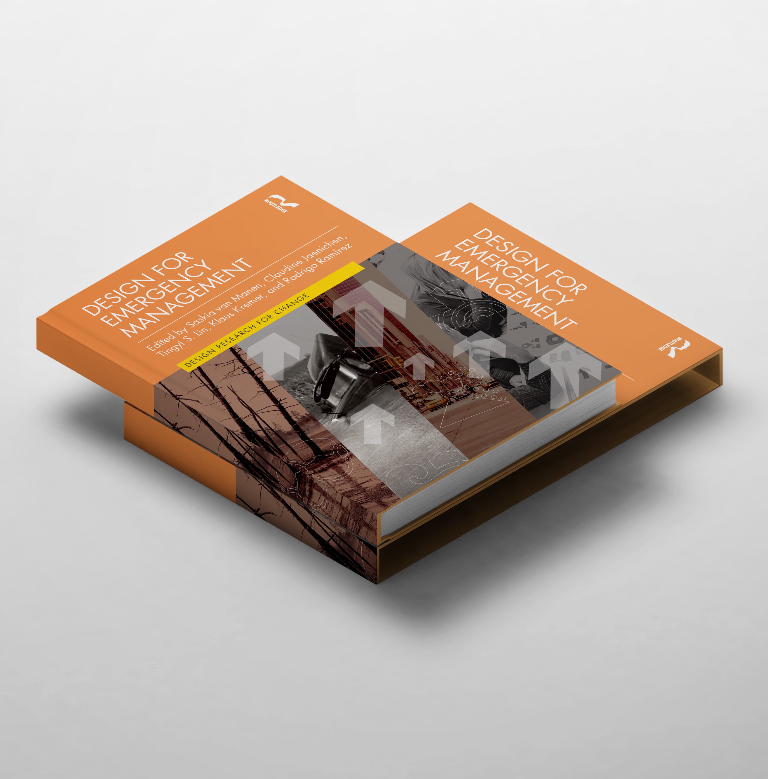
Design for Emergency Management. 1st Edition (2023)—Buy from Routledge Press
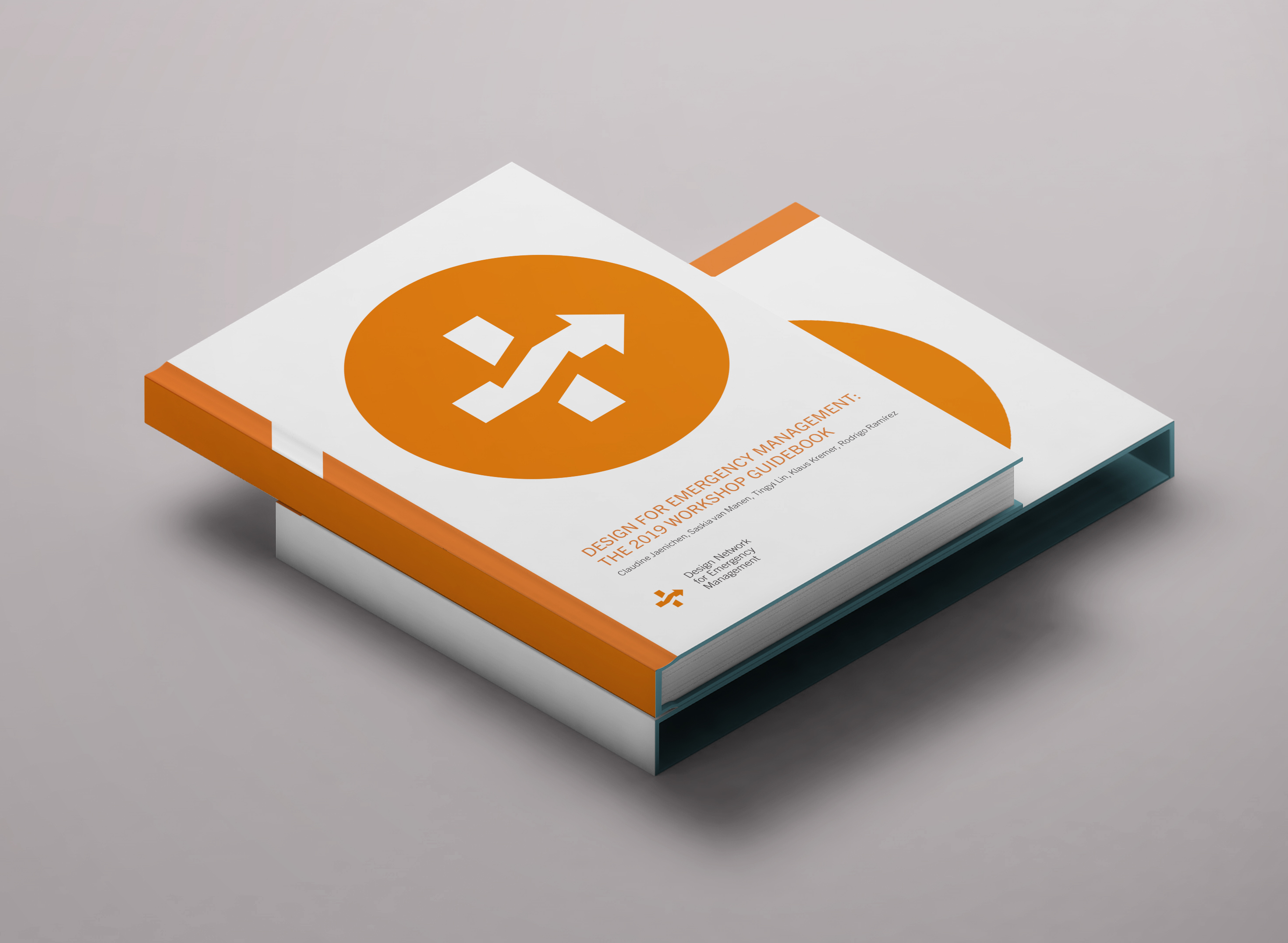
Design for Emergency Management Workbook Guidebook (2019)—Digital and Print options at Blub

Forthcoming book: In Case of Emergency: The Design of Safety Culture and Evacuation Equity in America (2027)
International Organizations
I serve on the Executive Board of Directors for the Design Network for Emergency Management and on the Executive Board as Vice President of the International Institute of Information Design (IIID). I have the opportunity to extend my design interests, research, and practice as part of these international communities.
IIID is based in Vienna, Austria and its main concern is to contribute to a better understanding within the human community with respect to cultural and economic issues by means of improved visual and other forms of communication. IIID believes that data transformed into high-quality information empower people to attain goals. In other words, how to get the right information, at the right time, to the people who need it, in a form they understand and enables them to achieve a specific outcome. Find out more at: www.iiid.net
DNEM ensures that design is leveraged to its full potential to minimize the impacts of adverse events. DNEM provides transdisciplinary expertise on the use of design before, during, and after emergencies. DNEM is an international resource surrounding the topics of design and emergency planning demonstrating completed work, interdisciplinary case studies, and work that are in progress. DNEM unifies and encourages quality research and applications in this specialized area of design. Through its collective nature, DNEM builds a stronger body of knowledge, credibility, and presence in emergency planning. We currently have 19 members from various sectors of emergency management policymakers, information designers, academics, and scientists that represent 5 countries. We will be completing our set of first published guidelines this year. DNEM is only 1 of 2 external networks endorsed by the International Institute of Information Design. Find out more at: dnem.org

Claudine served on the Santa Barbara Sherrif’s Search and Rescue Team and was EMT certified in Santa Barbara County between 2001-2003 before she left to graduate school in the UK.
Recent publications in emergency management
- “TsunamiClear public-facing evacuation maps” featured case study in Information Design Workbook, 2nd edition. Kim Baer. Rockport Publishers (2021)—Buy the book here on amazon.
- “Visual Infrastructures of COVID-19 Messaging” Inmaterial. Diseño, Arte y Sociedad, volume 6, issue 12 (2021)
- “Visual Communication and Cognition in Everyday Decision-Making” IEEE C&G, 37(6), pp.10-18. 0272-1716/17 (2017)
Abstract: The role of visual communication quickly changes, however, and with the influence and evolution of new materials and technology, commercial art and graphic design approaches were created. From cuneiform (a writing system that dates back to Mesopotamia that used a stylus to imprint markings on clay tablets) to Johannes Gutenberg’s development of metal movable type and the start of the printing revolution, materials and technology created opportunities for visual communication to reach more people and share more diverse messaging faster than ever before. - “Design for Evacuation: Improving City Evacuation Instructions.” Parsons Institute for Information Mapping, 3:2 (2011)—Download the article here.
- “The Taxonomy of Urgent Wayfinding: Assessing Graphic Variables, Components and Rules of Legibility in City Evacuation Maps” The International Journal of Interdisciplinary Social Sciences (2009)—Download the article here.
Abstract: This paper summarizes the evaluation of twelve city evacuation maps currently used in the United States for hurricane, fire, flooding or other scenarios requiring area evacuation. Each map is assessed by its use of components, graphic variables, and “general rules of legibility” as defined by Jacques Bertin in Semiology of Graphics (1983). Components include external and internal identification, level of organization, and length of components; variables include size, value, texture, color, orientation, and shape variation; and the general rules of legibility include graphic density, angular legibility and retinal legibility. The influential effect of mental health and physical stress will also be identified as key components in wayfinding design for urgent and emergency situations. The psychology of emergency ingress/egress and disaster psychology will provide a better understanding of decision-making challenges placed on people involved in distressed scenarios.
Featured video presentations
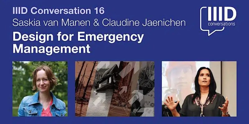
The International Institute for Information Design (IIID) is a global network for people who work to make information clearer—for everyday life, business, education and science.. IIID Conversations is a series of expert panels in an informal setting. Saskia van Manen and Claudine Jaenichen talked about the emerging discipline of Design for Emergency Management, where the application of design takes on a comprehensive role in preventing and addressing disasters. This talk will discuss the distinctions between this emerging discipline and traditional design, and showcase how design methods bring innovative evidence-based perspectives to the complex challenges presented by natural hazards such as earthquakes, hurricanes, flooding, and wildfires. This role extends far beyond aesthetics, and the discussion will highlight how important it is for people to work together, involving different groups and making sure all stakeholders are included.
Click on the image to access video presentations (captioning was not available)
Observing Earth from Above is a project-based learning course designed to empower undergraduate students from all disciplines to use satellite remote sensing data to answer questions about environmental events. They provide content that allows instructors and their students to use open-source data from NASA’s ECOsystem Spaceborne Thermal Radiometer Experiment on Space Station (ECOSTRESS) instrument and open-source GIS software (QGIS) to visualize land surface temperatures, evapotranspiration, plant water use efficiency, evaporative stress, and more. Their long-term goal is to develop evidence-based teaching methods that allow a diverse new generation to engage in the power of satellite remote sensing for environmental science.
Click the image below to access page. Scroll to find “Principles of Design: Clarity, Consistency and Repetition,” video presentation (captioning available)

PRINCIPLES OF DESIGN – CLARITY, CONSISTENCY AND REPETITION
List of invited talks and interviews
- KEYNOTE SPEAKER—California Society for Healthcare Engineers Annual Institute. Design in Action: New Concepts to Improve Information Literacy for Protective Action Planning” Monterey, CA (2023)
- CalGIS: Mapping Common Ground: Evacuation Routes for Humans and Livestock with Sid Pandey, Senior Geospatial Technology Manager, Dewberry, Fairfax, VA (2023)
- National Alliance for Public Safety GIS: Wildfire Mitigation Symbology Working Group (2023)
- Design4Emergencies, Invited Speaker for international “Roundtable Series” hosted at the University of Norte Dame, 2022
- The Information Systems for Crisis Response and Management Community, Invited Workshop “Design, Disability, and Inclusion,” 2022
- Bay Area Mass Notification Seminar for the Bay Area Urban Areas Security Initiatives Public Safety Preparedness Summit, Invited Speaker, 2022
- Lead Organizer and Facilitator, Disability, Accessibility, and Design for Emergency Management Workshop; Design for Emergency Management, 2022
- Session Facilitator: Maps, Stats, and Design: Leveraging cartographic concepts to improve decision-making Workshop for the Innovation Summit for Preparedness and Resilience (National Alliance for Public Safety GIS) 2022
- AwareNow: Awareness Ties Official Platform for Causes. Bias “Step Aside” by Sonja Montiel. Interview available starting on page 120 (2022)
- KEYNOTE SPEAKER—Innovation Summit for Preparedness and Resilience (National Alliance for Public Safety GIS). Clarity, Consistency, and Repetition: Understanding Effective Visual Communication Before, During, and After Emergencies (2022)
- National Flood Council. Invited talk in “Understanding Effective Communication Before, During, and After Emergencies” (2022)
- Iowa Flood Center. Invited talk in “Understanding Effective Communication Before, During, and After Emergencies” (2022)
- FEMA Alert and Warning Webinar. Invited talk in “Understanding Effective Communication Before, During, and After Emergencies” (2022)
- National Science Foundation: Bringing Land, Ocean, Atmosphere, and Ionosphere Data to the Community for Hazard Alerts. Invited talk in “Forest Fire” Session (2021)
- Chapman University COVID-19 Taskforce. Invited talk in “Risk Literacy: Improving the Understanding of Risk, Prevention and Supporting Effective Behavior on Campus ” Video available (2021)
- Chapman University COVID-19 Taskforce. Invited talk in “Assessment and Best Practices: Visual Infrastructures of COVID-19 Messaging” Video available (2021)
- “New Wildfire Tactic: Help People Flee,” Scientific American. Interviewed by Anne C. Mulkern, August 16 (2021) Article available.
- FEMA First Bi-annual Alert and Warning National Integration Center Series. Invited talk, “Understanding effective application of visual language: Clarity, Consistency, and Repetition” (2021)
- John Maeda, MIT Media Lab, podcast “World leaders’ insights on navigating safety matters through design, technology, engineering, and computer science .” Invited interview (2021)
- VoyageLA. Interview available (2020)
- FEMA PrepTalk. Invited research talk and proposal for the standardization of emergency information to the public in the United States. Video available (2019)
- Center for Homeland Defense and Security, Naval Postgraduate Academy. Invited research talk and proposal for visual communication best practices of national public-facing emergency actionable information (2019)
- FEMA National Advisory Council. Invited research talk and proposal for the standardization of emergency information to the public in the United States (2018)
- World Design Summit (Montreal, Canada). Invited talk in “Design for Extremes: Crisis and Resilience” Session (2017)
- College of Art Association (CAA). Invited talk in “Worst-Case scenario” Session (2017)
- American Geophysical Union. San Francisco. Project and paper presentation (2015)
- California Emergency Management Conference. Project presentation (2012)
- National Evacuation Conference. New Orleans, Louisiana. Project presentation (2012)


